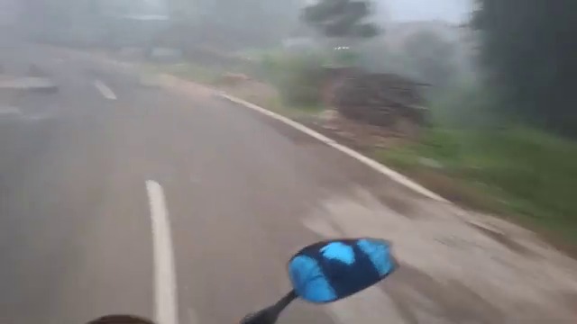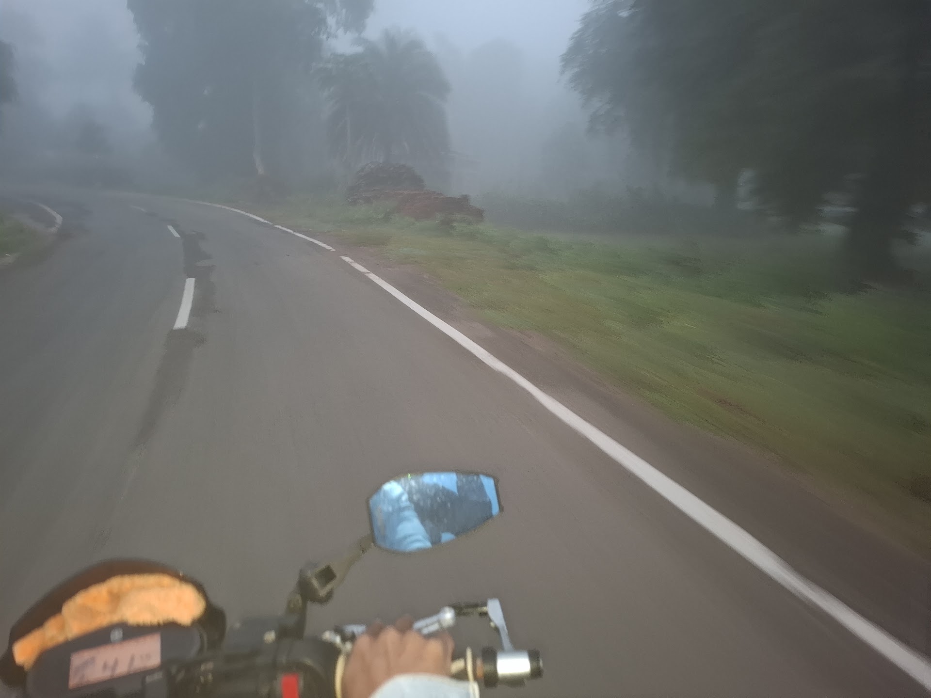
Foggy Yamaha FZ Ride POV - Serango Ghats at Dawn
21-22 October 2026 · Eastern Ghats, Odisha, India

Deomali Trip
· LUSANKHWAISH ·
Oct 2026

A 618 km solitary motorcycle expedition across the rugged Eastern Ghats to Deomali (1,672 m), the highest mountain summit in Odisha. Carving through predawn mist, hairpin ghats, and golden mountain sunrises aboard the Yamaha FZ 250cc.

Scroll To Fly
0 km
Total Distance
590 + 28 km (Odisha Ghats)
Yamaha FZ
Engine & Machine
250cc Single Cylinder FI
0 km/l
Fuel Efficiency
Deomali High Ghat Leg
0 m
Deomali Summit
Highest Peak in Odisha
21-22 Oct
Timeline
2026 (Album 20-22 Oct)

The Interactive Route Journey

Traverse the 3D topography of the Eastern Ghats from the valleys of Gajapati and Rayagada, climbing through Laxmipur and Koraput, to the 1,672 m summit of Deomali at sunrise. Drag to rotate 360°, scroll to fly, or tap any waypoint stop.

280 m
Current Elevation & Sector
Serango Valley
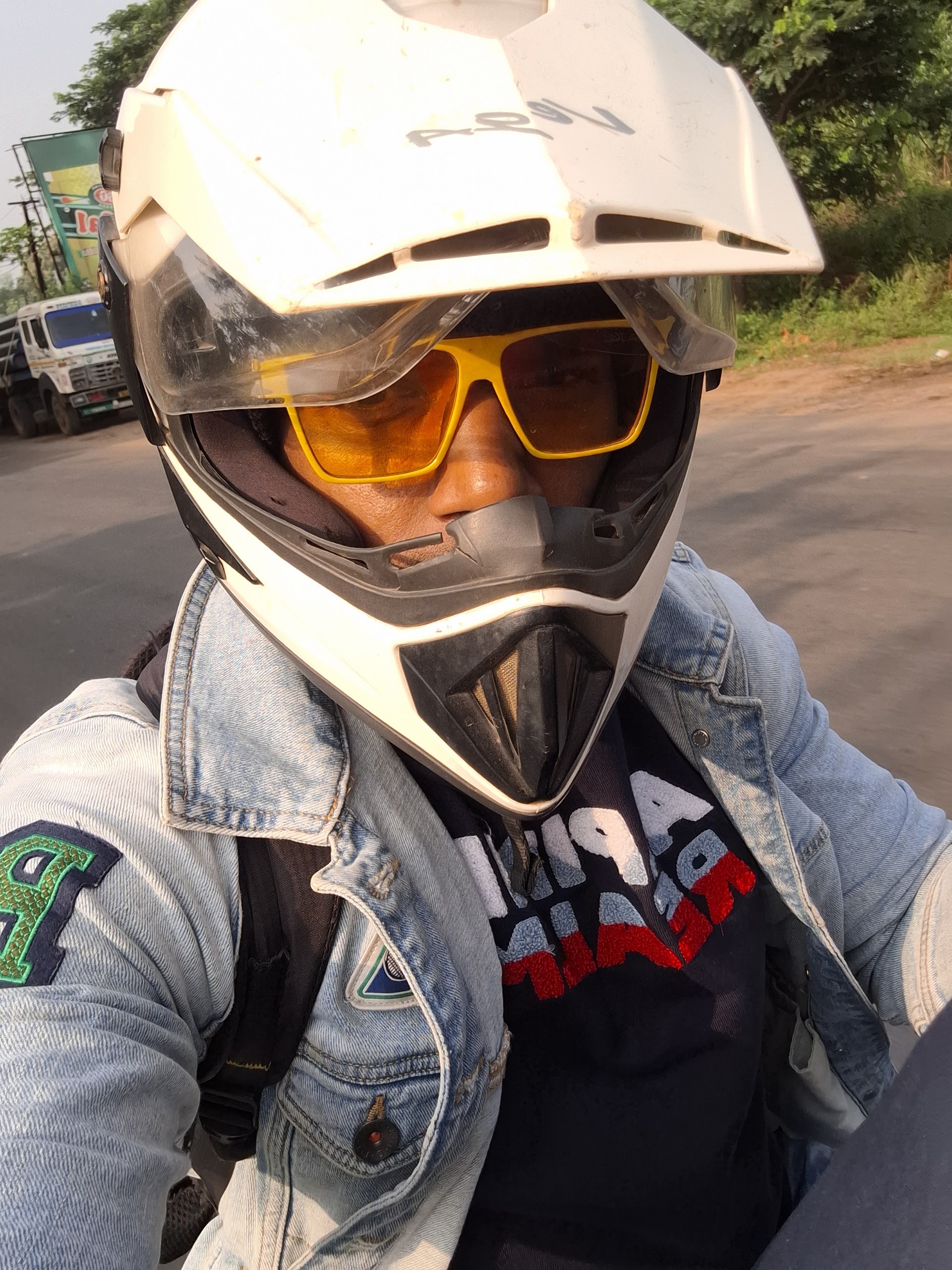
LUSANKHWAISH - Rider Helmet Selfie entering Rayagada
Feature Image · The Helmet Selfie

LUSANKHWAISH

"618 kilometers across winding mountain passes, cold predawn fog, and steep ghats. One rider, one machine, and the highest peak in Odisha waiting beyond the clouds."

Captured mid-ride upon reaching the Rayagada junction (~8:08 AM) after 120 km of misty ghat curves from Serango. Geared in touring helmet, amber goggles, and denim jacket, ready to push forward through Kalyan Singpur, Laxmipur, and Semiliguda into Deomali.

Rider Identifier
LUSANKHWAISH
Machine
Yamaha FZ 250cc
Peak Summit
1,672 m (Deomali)
Destination Web
deomali.lusankhwaish.co.uk

Expedition Timeline

Follow the exact progression of the ride across Wednesday 21 October and Thursday 22 October 2026.

01
5:00 AM · Start 0 km · Elev: 280 m

Serango, Gajapati — Dawn Rollout

Kickstart at 5:00 AM sharp into pitch darkness and early morning chill from Serango. Throttle open on the Yamaha FZ 250cc as fog gathers over the descending ghats toward Rayagada.

Serango home prep Misty POV ride Foggy ghat corner
02
8:17 AM Arrival ~120 km · ~3h 45m · Elev: 210 m

Serango to Rayagada — Valley Crossing

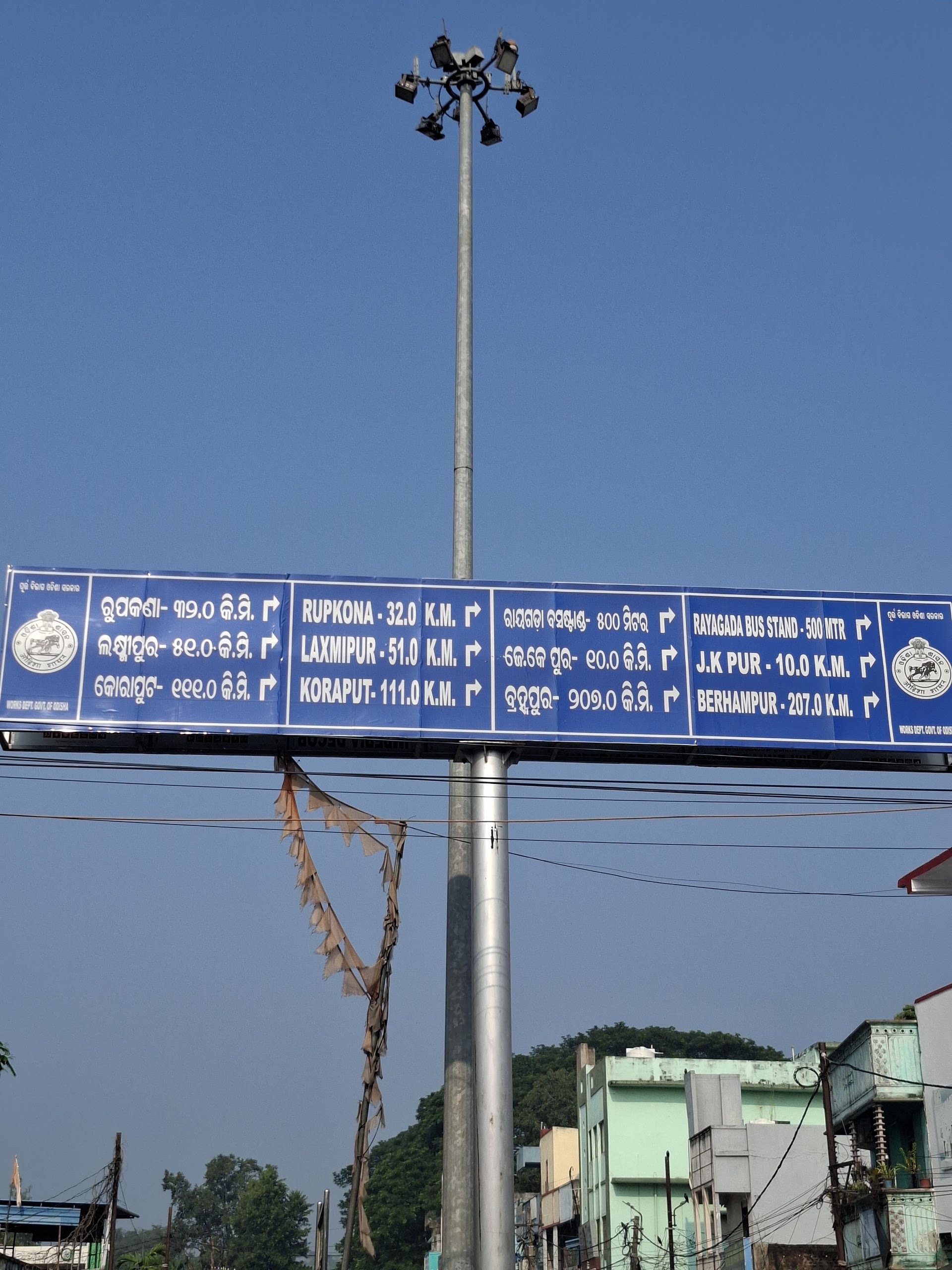
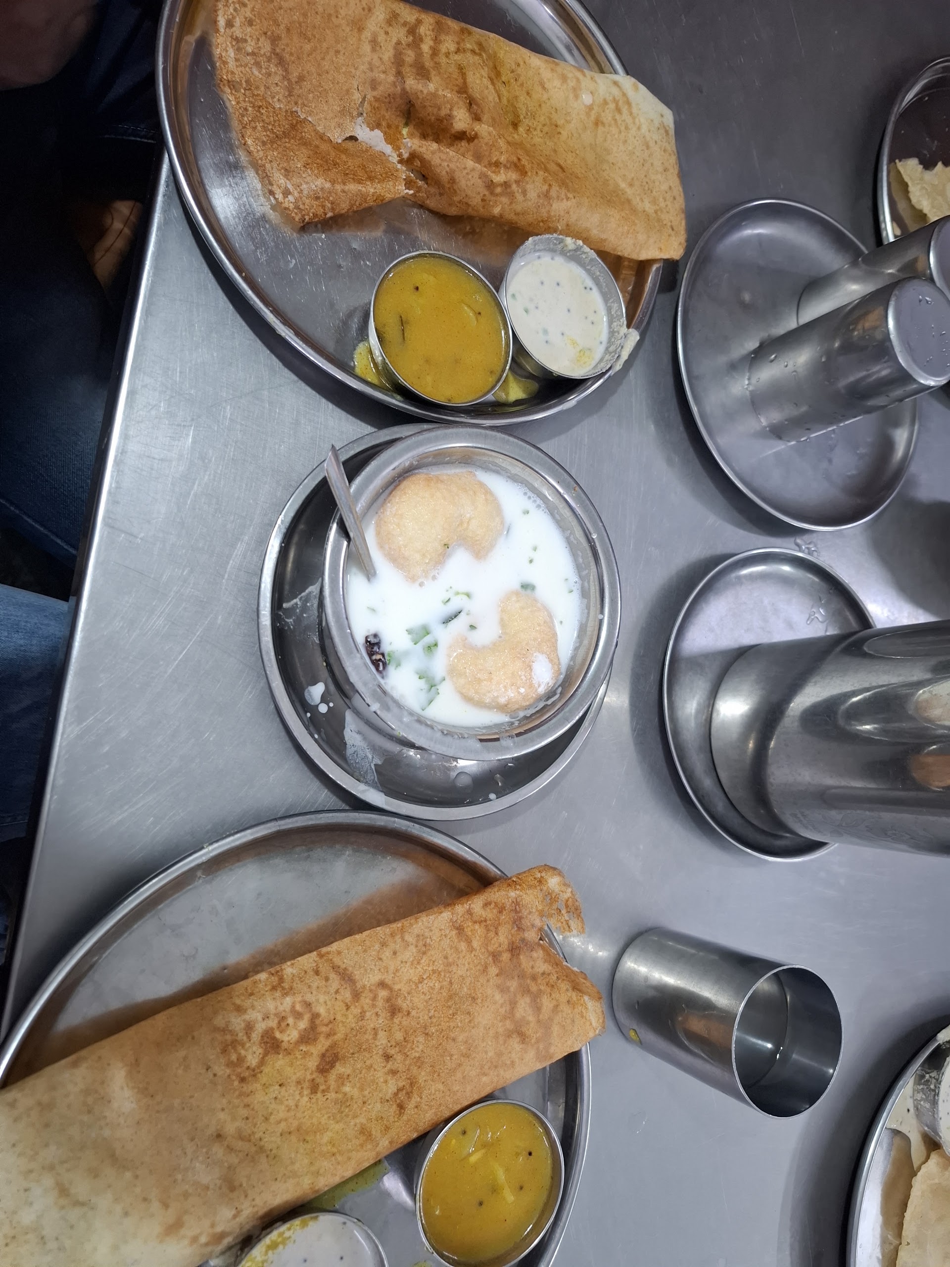
Covered ~120 km in 3 hours 45 minutes of non-stop riding. Paused at the Rayagada highway junction to inspect the Works Dept signboard (Laxmipur 51 km, Koraput 111 km). Enjoyed hot crispy masala dosa, sambar, and dahi vada for breakfast.

Helmet selfie Highway sign Rayagada breakfast
03
10:34 AM - 1:30 PM 46 km leg (166 km total) · Elev: 270 m

Rayagada to Kalyan Singpur — Work Stop & Lunch

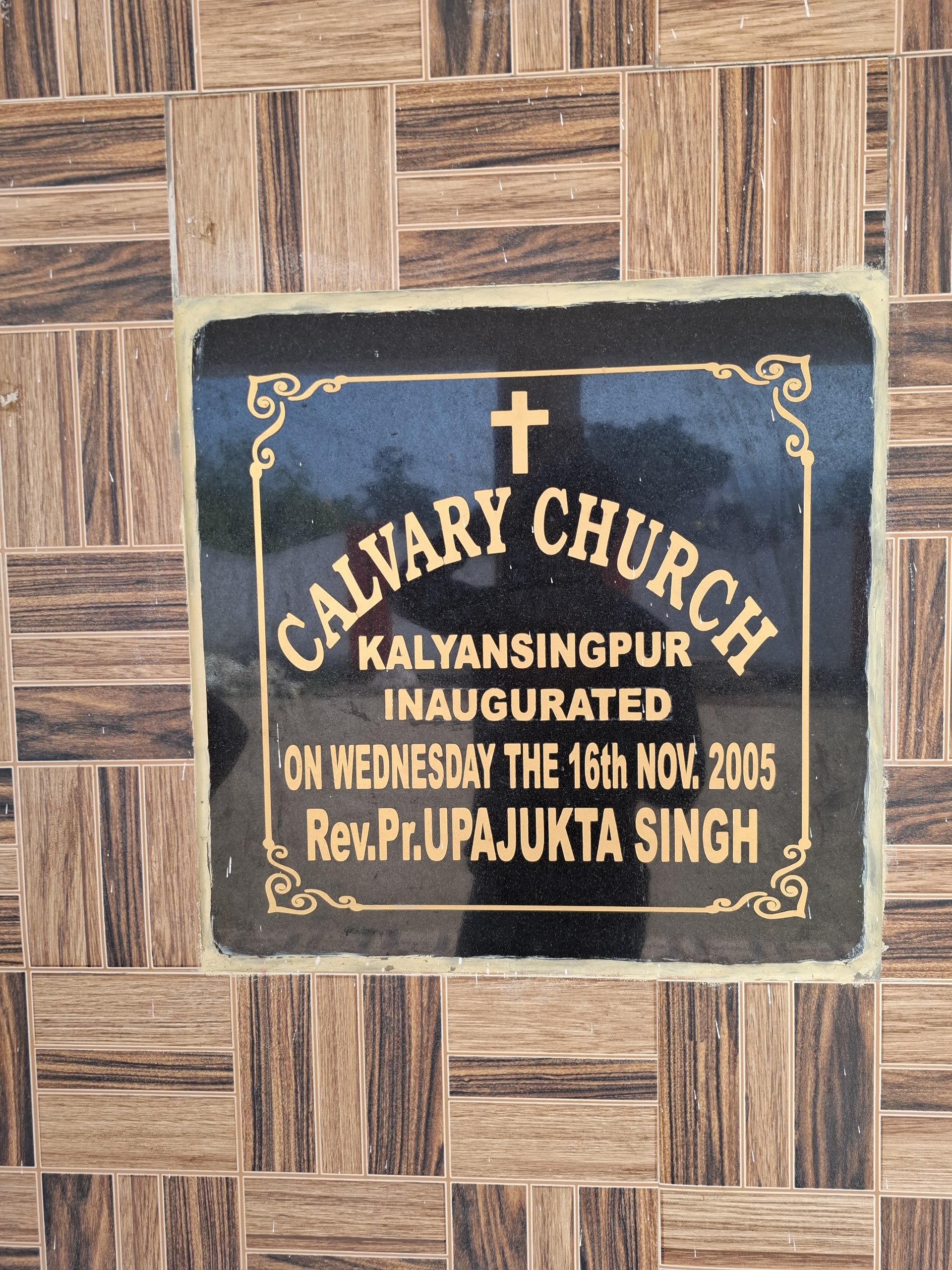
Rode 46 km north-west into the scenic valley of Kalyan Singpur. Scheduled work visit at Calvary Church, spent precious time with nephew and family, and enjoyed a hearty home-cooked lunch.

Family moments Calvary Church Lunch prep
04
1:45 PM - 8:47 PM ~112 km leg (278 km total) · Elev: 890 m

Forward Ascent: Laxmipur → Koraput → Semiliguda

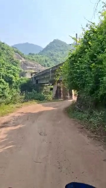
Forward route only, no return to Rayagada: Kalyan Singpur → Laxmipur (~35 km steep ghats) → Koraput (~55 km misty high plateau) → Semiliguda (22 km). Arrived Semiliguda at ~8:47 PM. Checked in at Dev's Inn, Sunabeda at ~8:52 PM for night stay and bike prep for dawn summit.

Laxmipur ghat ascent Semiliguda road

The Onboard Video Archive

All 15 videos recorded during the expedition. Tap any play button to stream directly on the page with full controls.